Bathing waters and rivers

Check bathing waters and other popular swimming locations for recent storm overflow (CSO) discharges.


To help protect water quality and ensure high standards are maintained, wastewater and stormwater discharges from our sewerage network and water recycling centres are managed carefully by us.

However, there are a wide range of factors that affect the cleanliness of beaches, bathing waters and rivers, including agricultural and urban run-off.

Use our map to find out if storm overflows have recently operated in bathing waters or popular swimming spots in our region.

Check our map

Coast and rivers watch is our online overflow notification system which provides near real-time information of when storm overflows (CSOs) have operated at designated bathing waters and other water bodies used regularly for recreation.

Designed with input from local councils, Surfers Against Sewage and the Environment Agency, Coast and rivers watch enables us to report on overflows potentially affecting 27 designated bathing waters. A further 21 designated bathing waters are not affected by CSOs and these are clearly identified. Additionally, the system reports on overflows potentially affecting 13 other recreational waters.

The Environment Agency provides warnings of periods of wet weather that may lead to lower water quality at selected bathing waters - find out about current warnings.

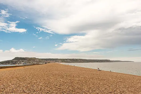
Chisel beach on a sunny day

Water quality information at Warleigh Weir

We are no longer providing storm overflow discharge alerts for Warleigh Weir due to a better system being available. Read about our work at Warleigh Weir and how we monitor water quality.

Use our Warleigh Weir app to find out the current water quality, temperature and flow rate of the river.


Warleigh Weir latest information